Skip to primary navigation
Skip to main content
A Beautiful Mess
Crafts, Home Décor, Recipes
Main Menu
Start Here!
Crafts
Photos
Sewing
Accessories
Garlands
Wreaths
Gifts
Decor + DIY
Living
Dining
Kitchen
Bed
Bath
Office
Small Spaces
Outdoor
Plants
Tours
Recipes
Breakfast
Dinner + Lunch
Desserts
Snacks + Appetizers
Cocktails
Drinks
Air Fryer
Advice
Business
Blogging
Photography
Happiness
Style
Hair
Makeup
Sister Style
Skin Care
Holiday
Halloween
Christmas
Thanksgiving
Valentine's
Easter
4th of July
Mother's Day
Birthday
About ABM
Crafts
Recipes
Decor + DIY
Advice
Style
Display Search Bar
Search...
Home
Crafts
Sewing
Sewing
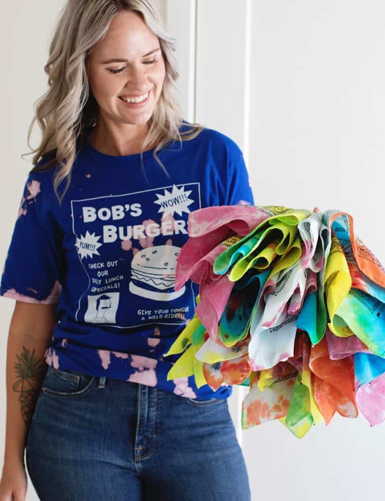
How to Tie-Dye – Beginner’s Guide
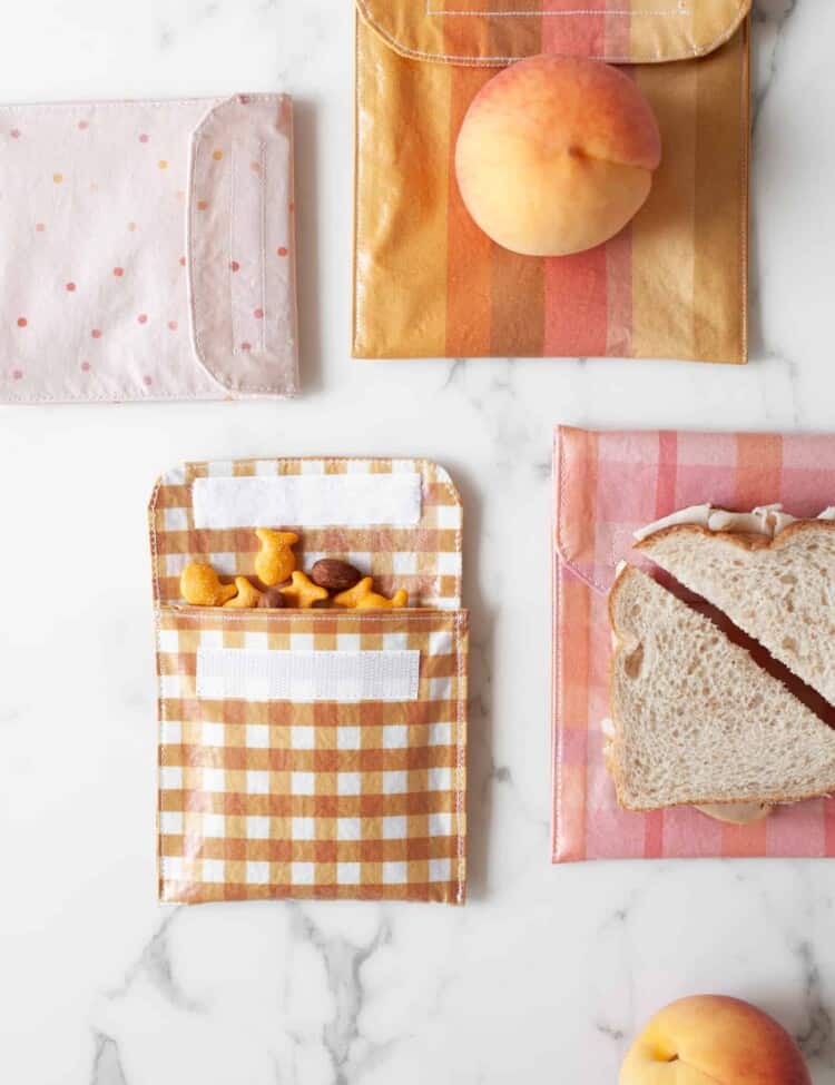
How to Make Reusable Sandwich Bags and Snack Bags
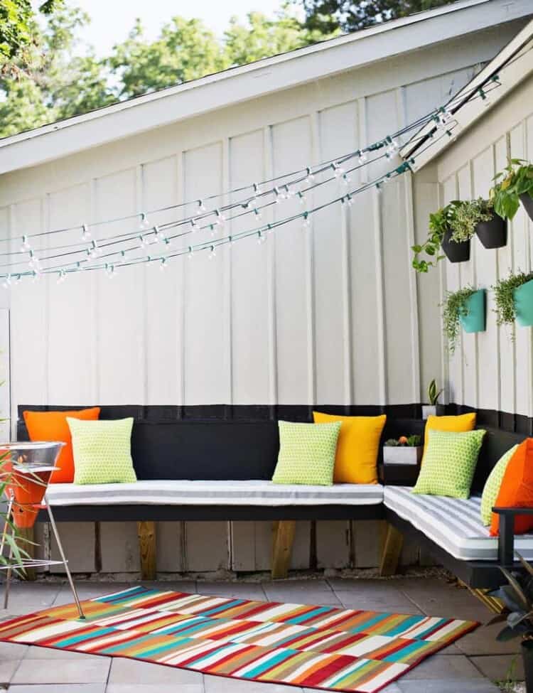
Make Your Own Outdoor Cushions!
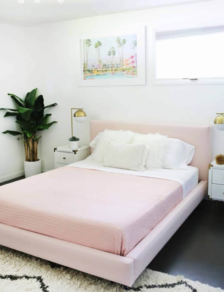
Reupholster Your Bed Frame in One Afternoon (With a No-Sew Option Too)!
How to Thread a Needle (4 Easy Ways!)
Quickly Sew a Flat or Shank Button (Easy Step By Step with Video)
How To Add A Built-In Bra To Clothing
Boho Shower Curtain
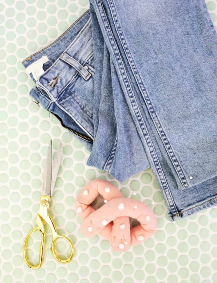
How to Hem Your Jeans (in 4 Easy Steps!)
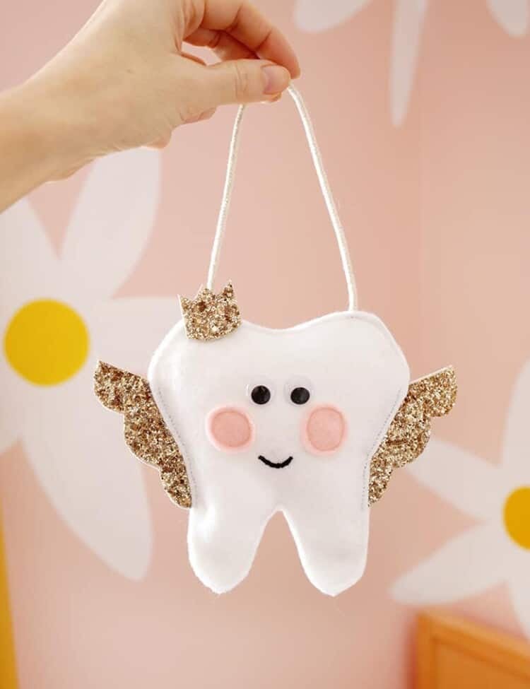
How to Make a Tooth Fairy Pillow (Free Printable with a No-Sew Option!)
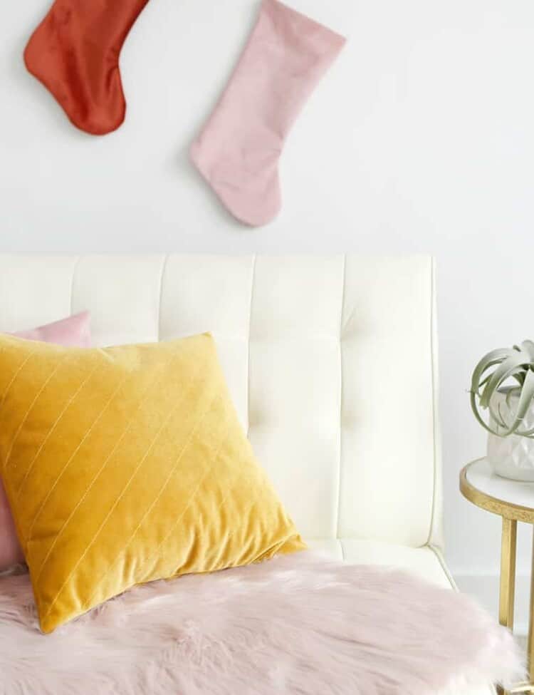
Quilted Velvet Pillow Tutorial
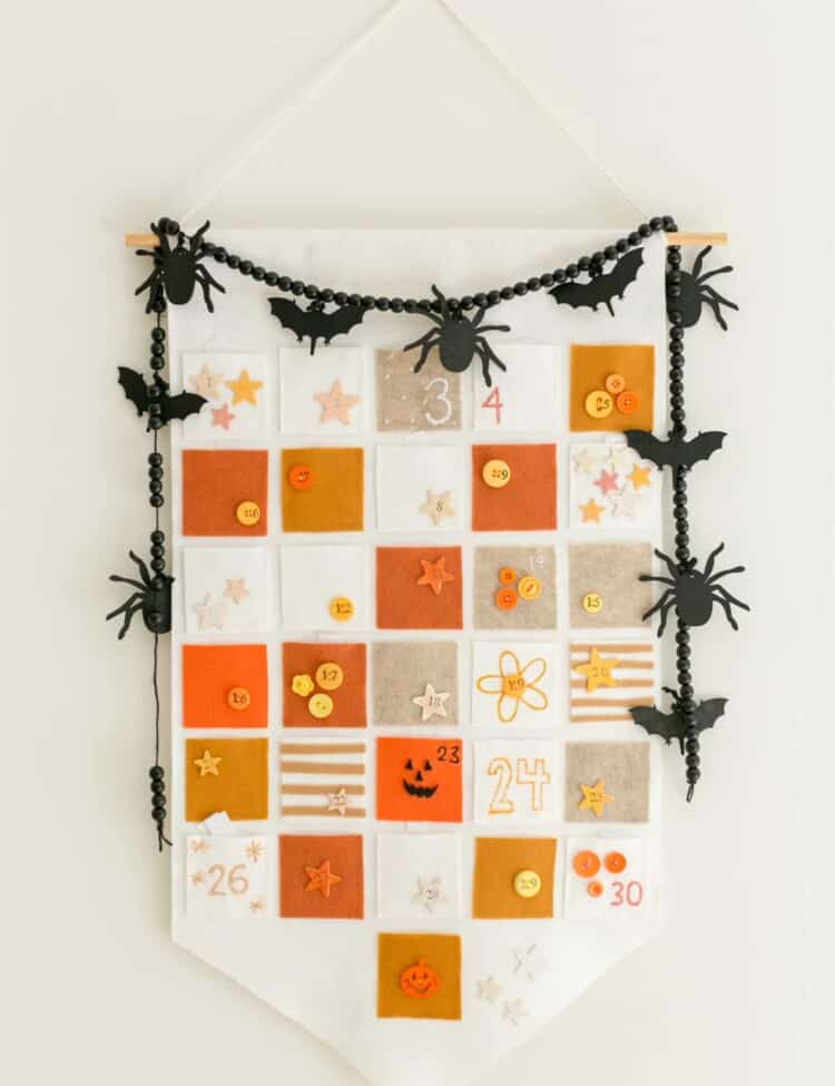
Halloween Countdown Calendar
Page
1
Page
2
Page
3
Interim pages omitted
…
Page
23
Next